West Maka Ska, Minneapolis

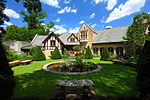
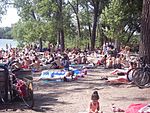
West Maka Ska, formerly known as West Calhoun, is a neighborhood in the U.S. city of Minneapolis. The neighborhood was general rural with a couple grain silos along the railroad track heading into Downtown Minneapolis until about the 1910s. Although the railroad still runs through the neighborhood, the neighborhood is now mainly homes, apartment buildings, and strip malls.It is the southwestern-most neighborhood of the Calhoun Isles community in the western part of the city. The neighborhood is bordered on the east by East Bde Maka Ska, the north by Cedar-Isles-Dean, the south by Linden Hills and the west by the city of St. Louis Park. Its boundaries are Lake Street to the north, Bde Maka Ska to the east, 36th Street to the south, and France Avenue to the west.
Excerpt from the Wikipedia article West Maka Ska, Minneapolis (License: CC BY-SA 3.0, Authors, Images).West Maka Ska, Minneapolis
France Avenue South,
Geographical coordinates (GPS) Address Nearby Places Show on map
Geographical coordinates (GPS)
| Latitude | Longitude |
|---|---|
| N 44.9446 ° | E -93.3265 ° |
Address
France Avenue South
55416
Minnesota, United States
Open on Google Maps


