Markfield
Markfield is a large village in both the National Forest and Charnwood Forest and in the Hinckley and Bosworth district of Leicestershire, England. The settlement dates back to at least the time of the Norman conquest and is mentioned in the Domesday Book under the name Merchenefeld. A variant of this is still used as the name for the village primary school, Mercenfeld. It is to the south-east of Junction 22 of the M1, and to the south of the A50. The highest point in Markfield is shown on OS sheet 129 at 222 metres above sea level. Nearby places are Newtown Linford, Groby, Field Head, and Stanton under Bardon. In the 1841 census its population was recorded at 1,203. In the 2011 census the parish had a population of 5681. In 2012 Hinckley & Bosworth Borough Council published an overview of Markfield conservation area.
Excerpt from the Wikipedia article Markfield (License: CC BY-SA 3.0, Authors, Images).Markfield
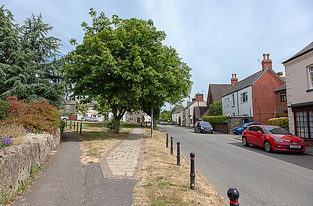
Main Street, Hinckley and Bosworth Markfield
Geographical coordinates (GPS) Address Nearby Places Show on map
Geographical coordinates (GPS)
| Latitude | Longitude |
|---|---|
| N 52.687802 ° | E -1.27751 ° |
Address
Main Street
Main Street
LE67 9UX Hinckley and Bosworth, Markfield
England, United Kingdom
Open on Google Maps


