The Cut, Berkshire
Bracknell ForestRivers of BerkshireThames drainage basinUse British English from October 2017

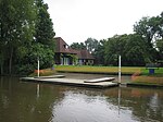
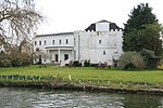
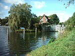
The Cut is a river in England that rises in North Ascot, Berkshire. It flows for around 14 miles (23 km), through the rural Northern Parishes of Winkfield, Warfield and Binfield in Bracknell Forest on its way down to Bray, where it meets the River Thames just above Queens Eyot on the reach below Bray Lock, having been joined by the Maidenhead Waterways. The Cut is so named because it was diverted eastwards artificially in the early nineteenth century from its original course westwards to the River Loddon via Stanlake Park south of Twyford to alleviate flood risk. At some point it was known as How Brook, although in 1813 it was known as the Broadwater.
Excerpt from the Wikipedia article The Cut, Berkshire (License: CC BY-SA 3.0, Authors, Images).The Cut, Berkshire
Monkey Island Lane,
Geographical coordinates (GPS) Address Nearby Places Show on map
Geographical coordinates (GPS)
| Latitude | Longitude |
|---|---|
| N 51.499166666667 ° | E -0.68138888888889 ° |
Address
Bray Marina
Monkey Island Lane
SL6 2AZ
England, United Kingdom
Open on Google Maps


