Earlwood, New South Wales

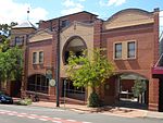
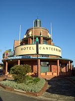
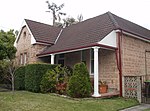
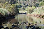
Earlwood is a suburb of Sydney, in the state of New South Wales, Australia. Earlwood is located 10 kilometres south-west of the Sydney central business district, and is part of the Canterbury-Bankstown area. It is in the local government area of the City of Canterbury-Bankstown.Earlwood stretches from the southern bank of the Cooks River to the northern bank of Wolli Creek. Wolli Creek (the suburb), Turrella and Bardwell Park lie to the south across Wolli Creek, while Canterbury, Hurlstone Park and Marrickville are located to the north and east across Cooks River. The locality of Undercliffe is part of the suburb. Clemton Park adjoins the suburb to the west. Earlwood is primarily residential with some commercial developments around the main road, Homer Street.
Excerpt from the Wikipedia article Earlwood, New South Wales (License: CC BY-SA 3.0, Authors, Images).Earlwood, New South Wales
Flers Avenue, Sydney Earlwood
Geographical coordinates (GPS) Address Nearby Places Show on map
Geographical coordinates (GPS)
| Latitude | Longitude |
|---|---|
| N -33.92018 ° | E 151.12682 ° |
Address
Flers Avenue
Flers Avenue
2206 Sydney, Earlwood
New South Wales, Australia
Open on Google Maps


