Pequonnock River
AC with 0 elementsGeography of Bridgeport, ConnecticutLong Island SoundMonroe, ConnecticutRivers of Connecticut ... and 2 more
Rivers of Fairfield County, ConnecticutTrumbull, Connecticut

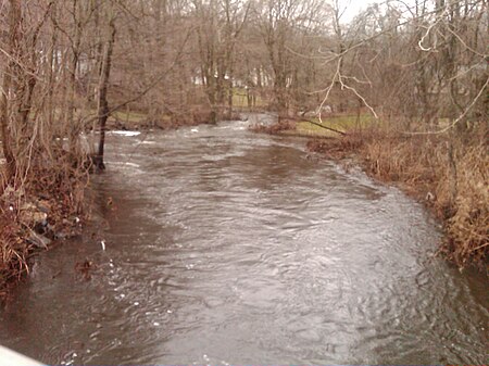
The Pequonnock River is a 16.7-mile-long (26.9 km) waterway in eastern Fairfield County, Connecticut. Its watershed is located in five communities, with the majority of it located within Monroe, Trumbull, and Bridgeport. The river has a penchant for flooding, particularly in spring since the removal of a retention dam in Trumbull in the 1950s. There seems to be a sharp difference of opinion among historians as to just what the Indian word Pequonnock signifies. Some insist it meant cleared field or open ground; others are sure it meant broken ground; while a third group is certain it meant place of slaughter or place of destruction.
Excerpt from the Wikipedia article Pequonnock River (License: CC BY-SA 3.0, Authors, Images).Pequonnock River
Bridgeport
Geographical coordinates (GPS) Address Nearby Places Show on map
Geographical coordinates (GPS)
| Latitude | Longitude |
|---|---|
| N 41.156666666667 ° | E -73.18 ° |
Address
Seaside Village Historic District
06601 Bridgeport
Connecticut, United States
Open on Google Maps


