Charlestown, New Hampshire
Charlestown, New HampshireNew Hampshire populated places on the Connecticut RiverTowns in New HampshireTowns in Sullivan County, New HampshireUse mdy dates from February 2013

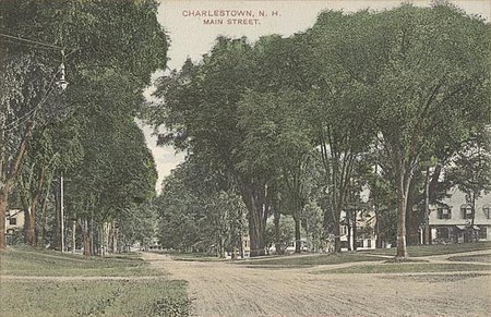
Charlestown is a town in Sullivan County, New Hampshire, United States. The population was 4,806 at the 2020 census, down from 5,114 at the 2010 census. The town is home to Hubbard State Forest and the headquarters of the Student Conservation Association. The primary village in town, where 1,078 people resided at the 2020 census, is defined as the Charlestown census-designated place (CDP) and is located along New Hampshire Route 12. The town also includes the villages of North Charlestown, South Charlestown and Hemlock Center.
Excerpt from the Wikipedia article Charlestown, New Hampshire (License: CC BY-SA 3.0, Authors, Images).Charlestown, New Hampshire
Railroad Street,
Geographical coordinates (GPS) Address Nearby Places Show on map
Geographical coordinates (GPS)
| Latitude | Longitude |
|---|---|
| N 43.234444444444 ° | E -72.424444444444 ° |
Address
Railroad Street 1
03603
New Hampshire, United States
Open on Google Maps


