Oatlands, New South Wales
City of ParramattaSuburbs of SydneyThe Hills ShireUse Australian English from August 2019

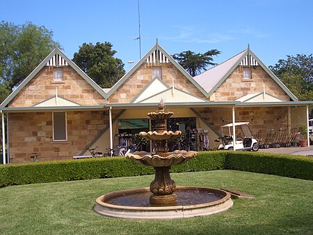
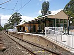
Oatlands is a suburb of Sydney, in the state of New South Wales, Australia. It is 23 kilometres (14 miles) north-west of the Sydney central business district in the local government area of the City of Parramatta. Oatlands is part of the Hills District and Western Sydney. The suburb extends from the south-east of Kissing Point Road and Vineyard Creek to the north-west bordering Pennant Hills Road and the North Rocks area.
Excerpt from the Wikipedia article Oatlands, New South Wales (License: CC BY-SA 3.0, Authors, Images).Oatlands, New South Wales
Bettington Road, Sydney Oatlands
Geographical coordinates (GPS) Address Phone number Website Nearby Places Show on map
Geographical coordinates (GPS)
| Latitude | Longitude |
|---|---|
| N -33.794 ° | E 151.032 ° |
Address
Oatlands Golf Course
Bettington Road
2117 Sydney, Oatlands
New South Wales, Australia
Open on Google Maps


