Wethersfield, Connecticut
1634 establishments in ConnecticutAmerican witchcraftConnecticut populated places on the Connecticut RiverGreater HartfordNew England Puritanism ... and 6 more
Populated places established in 1634Towns in Capitol Planning Region, ConnecticutTowns in ConnecticutTowns in Hartford County, ConnecticutWethersfield, ConnecticutYale University

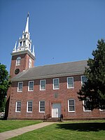
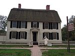
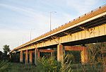
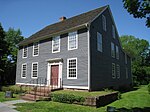
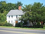
Wethersfield is a town located in Hartford County, Connecticut, United States. It is located immediately south of Hartford along the Connecticut River. The town is part of the Capitol Planning Region. The population was 27,298 at the time of the 2020 census.Many records from colonial times spell the name "Weathersfield" and "Wythersfield," while Native Americans called it Pyquag. "Watertown" is a variant name.The neighborhood known as Old Wethersfield is the state's largest historic district, spanning 2 sq mi (5.2 km2) and containing 1,100 buildings, dating to the 17th, 18th and 19th centuries. The town is primarily served by Interstate 91.
Excerpt from the Wikipedia article Wethersfield, Connecticut (License: CC BY-SA 3.0, Authors, Images).Wethersfield, Connecticut
Main Street,
Geographical coordinates (GPS) Address Nearby Places Show on map
Geographical coordinates (GPS)
| Latitude | Longitude |
|---|---|
| N 41.714166666667 ° | E -72.6525 ° |
Address
Main Street 276
06109
Connecticut, United States
Open on Google Maps
