Polish–Czech Friendship Trail
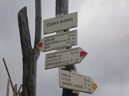
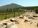
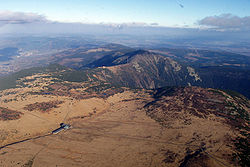
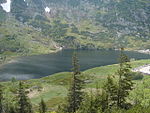
The Polish–Czech Friendship Trail (Czech: Cesta česko-polského přátelství, Polish: Droga Przyjaźni Polsko-Czeskiej) is a public walking path in the Giant Mountains. The path runs on both sides of the Czech–Polish border, along the main ridge and crosses or traverses all its summits. The maintenance of the trail is performed by the staff of both adjacent national parks: the Polish Karkonosze National Park and the Czech Krkonoše National Park. The trail is marked red and the signs mostly bilingual. The start point is located on Szrenica and the end in the Okraj pass / Pomezní boudy; the length of the trail is approx. 30 km; the level of difficulty is moderate. The trail partially overlaps with ski trails.
Excerpt from the Wikipedia article Polish–Czech Friendship Trail (License: CC BY-SA 3.0, Authors, Images).Polish–Czech Friendship Trail
Polish–Czech Friendship Trail,
Geographical coordinates (GPS) Address Nearby Places Show on map
Geographical coordinates (GPS)
| Latitude | Longitude |
|---|---|
| N 50.7372 ° | E 15.7319 ° |
Address
Droga Przyjaźni Polsko-Czeskiej
Polish–Czech Friendship Trail
58-540
Lower Silesian Voivodeship, Poland
Open on Google Maps


