Clanfield, Oxfordshire
Civil parishes in OxfordshireUse British English from August 2015Villages in OxfordshireWest Oxfordshire District

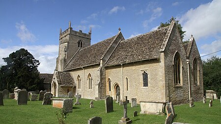
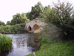
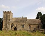
Clanfield is a village and civil parish about three miles (5 km) south of Carterton, Oxfordshire. The parish includes the hamlet of Little Clanfield one mile (1.6 km) west of the village, on Little Clanfield Brook which forms the parish's western boundary. The parish's eastern boundary is Black Bourton Brook and its southern boundary is Radcot Cut, an artificial watercourse on the River Thames floodplain. The 2011 Census recorded the parish's population as 879.
Excerpt from the Wikipedia article Clanfield, Oxfordshire (License: CC BY-SA 3.0, Authors, Images).Clanfield, Oxfordshire
Mill Lane, West Oxfordshire
Geographical coordinates (GPS) Address Nearby Places Show on map
Geographical coordinates (GPS)
| Latitude | Longitude |
|---|---|
| N 51.716 ° | E -1.598 ° |
Address
Mill Lane
Mill Lane
OX18 2RH West Oxfordshire
England, United Kingdom
Open on Google Maps


