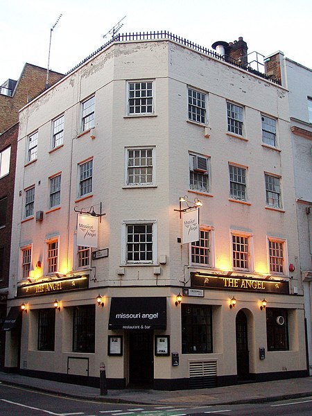
Crosswall
London road stubsStreets in the City of LondonUse British English from December 2017

Crosswall is a street in the City of London. At its western end, the street begins at a junction with Crutched Friars and Cooper's Row. At its eastern end, the street is a turn off Minories. It is home to America Square, the City of London Medical Centre, and a number of bar-restaurants and offices. Crosswall was named as it crossed the old Roman wall, which was discovered after the bombing of 1940. Previously the street had been named John Street, after King John.The nearest mainline railway station is Fenchurch Street, and the nearest London Underground station is Tower Hill.
Excerpt from the Wikipedia article Crosswall (License: CC BY-SA 3.0, Authors, Images).Crosswall
Crosswall, City of London
Geographical coordinates (GPS) Address Nearby Places Show on map
Geographical coordinates (GPS)
| Latitude | Longitude |
|---|---|
| N 51.511555555556 ° | E -0.076666666666667 ° |
Address
Charlie's
Crosswall 9
EC3N 2JY City of London
England, United Kingdom
Open on Google Maps


