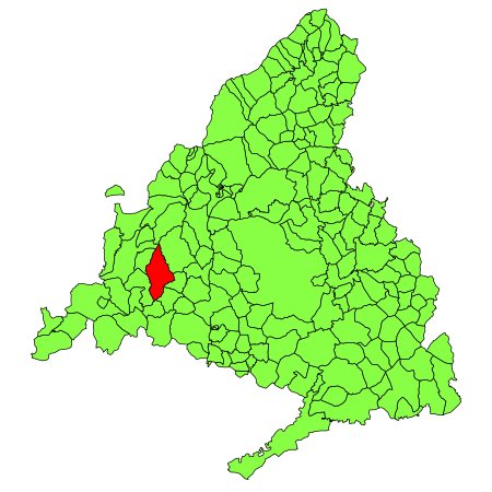
San Lorenzo de El Escorial, also known as El Escorial de Arriba, is a town and municipality in the Community of Madrid, Spain, located to the northwest of the region in the southeastern side of the Sierra de Guadarrama, at the foot of Mount Abantos and Las Machotas, 47 kilometres (29 mi) from Madrid. It is head of the eponymous judicial party. The settlement is popularly called El Escorial de Arriba, to differentiate it from the neighbouring village of El Escorial, also known as El Escorial de Abajo.
The Monastery of El Escorial is the most prominent building in the town and is one of the main Spanish Renaissance monuments. Especially remarkable is the Royal Library, inside the Monastery.
The monastery and its historic surroundings were declared a World Heritage Site UNESCO on November 2, 1984, under the name of "El Escorial, monastery and site".
The site also enjoys protection on Spain's heritage register; since June 21, 2006, it has been protected by the Community of Madrid as a Property of Cultural Interest.
San Lorenzo de El Escorial is located on the southern slopes of the Mount Abantos (elevation 1753 m). The average altitude of the municipality is 1,032 metres (3,386 ft), and most of the urban area is above 1,000 metres (3,300 ft). The hamlet initially sprang up around Monastery of El Escorial, gradually extending up the mountain. In the 20th and 21st centuries, the town underwent a strong urban expansion, particularly towards the southeastern side of Mount Abantos.


