place

St. James the Less Roman Catholic Church

19th-century Roman Catholic church buildings in the United StatesChurches on the National Register of Historic Places in MarylandEast BaltimoreGothic Revival architecture in MarylandProperties of religious function on the National Register of Historic Places in Baltimore
Roman Catholic churches completed in 1867Roman Catholic churches in BaltimoreRomanesque Revival architecture in MarylandSource attributionVictorian architecture in Maryland
St James2
St James2

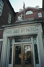
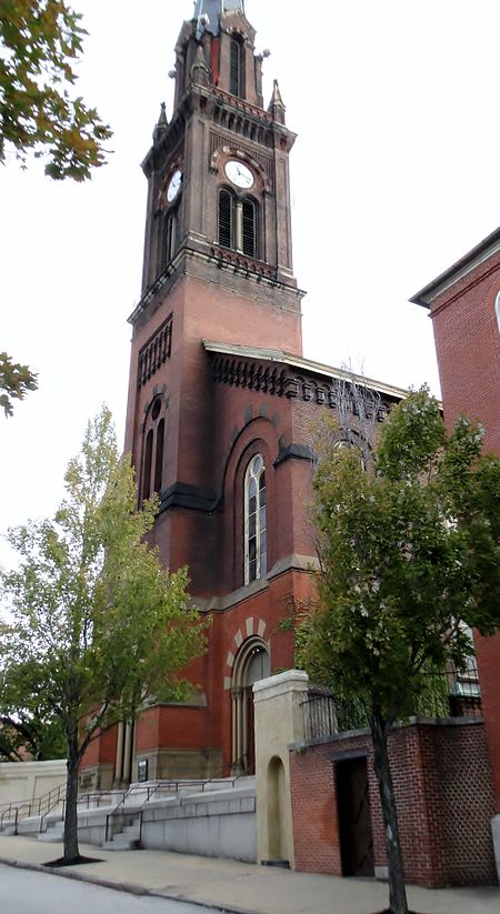
St. James the Less Roman Catholic Church, also known as St. James and St. John's Roman Catholic Church, is a historic Roman Catholic church located at Baltimore, Maryland, United States and was one of the earliest neighborhood parishes established in the central city (1833). The building later became Urban Bible Fellowship Church. On March 29, 2020 lightning struck the steeple, causing the building to catch fire and partially collapse.

Excerpt from the Wikipedia article St. James the Less Roman Catholic Church (License: CC BY-SA 3.0, Authors, Images).

St. James the Less Roman Catholic Church
Abbott Court, Baltimore

Geographical coordinates (GPS) Address Nearby Places
placeShow on map

Wikipedia: St. James the Less Roman Catholic ChurchContinue reading on Wikipedia

Geographical coordinates (GPS)

Latitude Longitude
N 39.301111111111 ° E -76.602222222222 °
placeShow on map

Address

Abbott Court 1123
21201 Baltimore
Maryland, United States
mapOpen on Google Maps

St James2
St James2
Share experience

Nearby Places

Belair Lot
Belair Lot

Belair Lot is a former baseball ground located in Baltimore, Maryland. The ground was home to the Baltimore Unions of the Union Association in 1884, with the exception of one game at the Madison Avenue Grounds. The ballpark was also called Union Park or Union Association Grounds (not to be confused with the later and better known Union Park). On July 4, 1884, Baltimore played a split double header against the Cincinnati Outlaw Reds and the run-away league leaders, the St. Louis Maroons, which saw a sellout crowd in attendance. The field also hosted a home game (a makeup of an earlier postponement) for the traveling Chicago Browns on September 17, who played against the Maroons while in the midst of a road series against Baltimore. Sources conflict as to some of the details of the ballpark's location. Both agree that it was across Forrest Street from the Belair Market, and that another of its boundaries was Low Street. According to The Home Team, by James H. Bready, the ballpark was on a block bounded by Forrest Street (northeast); Low Street (southeast); Orleans Street (south); and Gay Street (northwest). However, all contemporary maps show Orleans stopping at Forrest rather than continuing westward.A contemporary detailed map which includes the layout of the field has it this way: Forrest Street (northeast, first base); Low Street (northwest, right field); Orleans Street's end at that time (east, infield area); East Street (southwest, left field); buildings and Douglas Street (roughly corresponding to Lexington Street) (southeast, third base).Either way, the road configuration in this area has changed over time, but the boundaries of the blocks are still discernible in modern maps. No photograph of the park itself is known to exist. The park site is now occupied by commercial buildings and vacant lots. The site of the old Belair Market is now a large grassy median separating traffic lanes on Forrest Street.