Tysoe
Civil parishes in WarwickshireStratford-on-Avon DistrictUse British English from December 2019

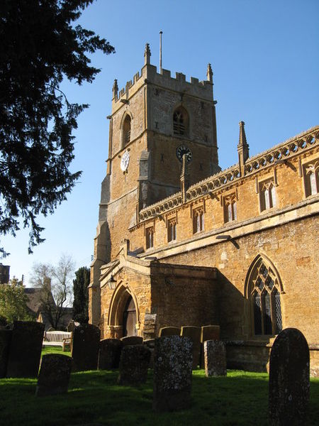
Tysoe is a civil parish in the Stratford-on-Avon District of Warwickshire, England. The parish is on the boundary with Oxfordshire, about 7+1⁄2 miles (12 km) northwest of Banbury. The parish includes the contiguous villages of Middle and Upper Tysoe and the separate hamlet of Lower Tysoe. The 2011 census recorded the parish population as 1,143.
Excerpt from the Wikipedia article Tysoe (License: CC BY-SA 3.0, Authors, Images).Tysoe
Main Street, Stratford-on-Avon Tysoe CP
Geographical coordinates (GPS) Address Nearby Places Show on map
Geographical coordinates (GPS)
| Latitude | Longitude |
|---|---|
| N 52.0924 ° | E -1.5066 ° |
Address
Main Street
Main Street
CV35 0SE Stratford-on-Avon, Tysoe CP
England, United Kingdom
Open on Google Maps


