Schober group
Central AlpsGeography of East TyrolMountain ranges of Carinthia (state)Mountain ranges of Tyrol (state)Mountain ranges of the Alps ... and 1 more
Schober Group

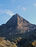
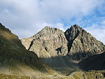
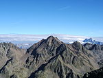
The Schober group (German: Schobergruppe) is a sub-range of the Hohe Tauern mountains in the Central Eastern Alps, on the border between the Austrian states of Tyrol (East Tyrol) and Carinthia. Most of the range is located inside Hohe Tauern national park. It is named after Mt. Hochschober, 3,242 metres (10,636 ft), though its highest peak is Mt. Petzeck at 3,283 metres (10,771 ft).
Excerpt from the Wikipedia article Schober group (License: CC BY-SA 3.0, Authors, Images).Schober group
Geographical coordinates (GPS) Address Nearby Places Show on map
Geographical coordinates (GPS)
| Latitude | Longitude |
|---|---|
| N 46.948333333333 ° | E 12.804166666667 ° |
Address
9843
Carinthia, Austria
Open on Google Maps


