Finsbury Square

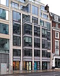
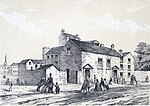
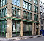
Finsbury Square is a 0.7-hectare (1.7-acre) square in Finsbury in central London which includes a six-rink grass bowling green. It was developed in 1777 on the site of a previous area of green space to the north of the City of London known as Finsbury Fields, in the parish of St Luke's and near Moorfields. It is sited on the east side of City Road, opposite the east side of Bunhill Fields. It is approximately 200m north of Moorgate station, 300m north-west of Liverpool Street station and 400m south of Old Street station. Nearby locations are Finsbury Circus and Finsbury Pavement. Named after it, but several miles away, are Finsbury Park and its eponymous neighbourhood. Finsbury Square is served by bus routes 21, 43, 141, 214 and 271.
Excerpt from the Wikipedia article Finsbury Square (License: CC BY-SA 3.0, Authors, Images).Finsbury Square
Finsbury Square, London Finsbury (London Borough of Islington)
Geographical coordinates (GPS) Address Nearby Places Show on map
Geographical coordinates (GPS)
| Latitude | Longitude |
|---|---|
| N 51.52089 ° | E -0.08649 ° |
Address
La Paquerette
Finsbury Square
EC2A 1PX London, Finsbury (London Borough of Islington)
England, United Kingdom
Open on Google Maps


