place

Inwood Hill Park

1926 establishments in New York CityHarlem RiverIndividual trees in New York CityInwood, ManhattanNature centers in New York City
Parks in ManhattanUrban public parksUse mdy dates from September 2019Works Progress Administration in New York City
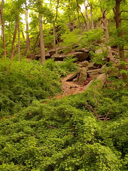
Native Caves
Native Caves

Inwood Hill Park is a public park in the Inwood neighborhood of Manhattan, New York City, operated by the New York City Department of Parks and Recreation. On a high schist ridge that rises 200 feet (61 m) above the Hudson River from Dyckman Street to the northern tip of the island, Inwood Hill Park's densely folded, glacially scoured topography contains the largest remaining old-growth forest on Manhattan Island, known as the Shorakapok Preserve after an historic Wecquaesgeek village. Unlike other Manhattan parks, Inwood Hill Park is largely natural and consists of mostly wooded, non-landscaped hills.

Excerpt from the Wikipedia article Inwood Hill Park (License: CC BY-SA 3.0, Authors, Images).

Inwood Hill Park
Henry Hudson Parkway, New York Manhattan

Geographical coordinates (GPS) Address Nearby Places
placeShow on map

Wikipedia: Inwood Hill ParkContinue reading on Wikipedia

Geographical coordinates (GPS)

Latitude Longitude
N 40.872458 ° E -73.925886 °
placeShow on map

Address

Henry Hudson Parkway

Henry Hudson Parkway
10034 New York, Manhattan
New York, United States
mapOpen on Google Maps

Native Caves
Native Caves
Share experience

Nearby Places

Fort Cockhill
Fort Cockhill

Fort Cockhill was an 18th-century military fortification located on Cox's Hill or Tubby Hook Hill, now known as the present-day Inwood Hill Park in Manhattan, New York City. A small, circular earthwork structure, in height some ten or twelve feet and equipped with two cannon, it was situated at the northwestern extremity of Tubby Hook Hill, at a point overlooking both the Hudson River and the Harlem River valley.Built by the Continental Army during the Revolutionary War, Fort Cockhill, an outpost of Fort Tryon (which was itself an outpost of Fort Washington to the south), along with a strongly fortified position on Laurel Hill (renamed Fort George after capture by the British), and a four-gun redoubt commanding the Kingsbridge Road, both to the east, provided the rebel defense of the then-sparsely populated northern Manhattan.On the morning of November 16, 1776, during what became known as The Battle of Fort Washington, the fort was attacked and captured by a battalion of Hessian (German) Grenadiers who served in the British Army. In July 1781, George Washington and his generals surveyed the forts of northern Manhattan from nearby points in the Bronx, apparently in preparation to reclaim their captured forts. By that time the fort showed signs of neglect, as reflected in Washington's observation that: “the fort on Cox’s Hill was in bad repair and but little dependence placed on it. There is neither ditch nor friezing, and the northeast corner appears quite easy of access.” This attack never materialized, and the fort was held by the British until the war ended in 1783.