Waramanga, Australian Capital Territory
Suburbs of CanberraUse Australian English from February 2012

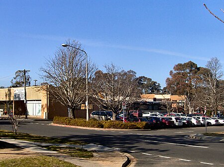
Waramanga () (postcode: 2611) is a suburb of Canberra, Australian Capital Territory, Australia in the district of Weston Creek. Waramanga was established in the late-1960s and was named after the Warumungu people of Central Australia.
Excerpt from the Wikipedia article Waramanga, Australian Capital Territory (License: CC BY-SA 3.0, Authors, Images).Waramanga, Australian Capital Territory
Alura Place,
Geographical coordinates (GPS) Address Nearby Places Show on map
Geographical coordinates (GPS)
| Latitude | Longitude |
|---|---|
| N -35.353 ° | E 149.063 ° |
Address
Alura Place
Alura Place
2611 , Waramanga
Australia
Open on Google Maps


