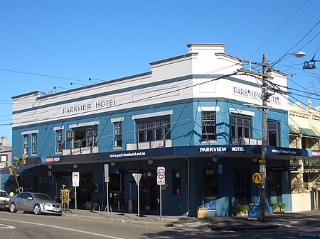
Alexandria, New South Wales
Alexandria, New South WalesSuburbs of SydneyUse Australian English from August 2019Vague or ambiguous geographic scope from July 2011

Alexandria is an inner southern suburb of Sydney, New South Wales, Australia. Alexandria is located 5 kilometres south of the Sydney central business district and is part of the local government area of the City of Sydney. The postcode is 2015.The rough boundaries of Alexandria are Botany Road to the east, Gardeners Road to the south, Mitchell Road and Sydney Park to the west, and Boundary Road to the north. It is approximately 3.5 km south of Central station.
Excerpt from the Wikipedia article Alexandria, New South Wales (License: CC BY-SA 3.0, Authors, Images).Alexandria, New South Wales
Wyndham Street, Sydney Macdonaldtown
Geographical coordinates (GPS) Address Nearby Places Show on map
Geographical coordinates (GPS)
| Latitude | Longitude |
|---|---|
| N -33.90166 ° | E 151.20007 ° |
Address
Able Metromix
Wyndham Street
2015 Sydney, Macdonaldtown
New South Wales, Australia
Open on Google Maps


