Padworth
Civil parishes in BerkshireUse British English from June 2016West Berkshire District

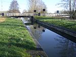
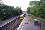
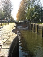
Padworth is a dispersed settlement and civil parish in the English county of Berkshire, with the nearest town being Tadley. Padworth is in the unitary authority of West Berkshire, and its main settlement is at Aldermaston Wharf or Lower Padworth, where there is Aldermaston railway station. It has its southern boundary with Mortimer West End, Hampshire. The south of the parish is wooded towards its edges and the north of the parish is agricultural with a hotel beside the Kennet and Avon Canal. In the centre of the parish is a school, Padworth College, which is Georgian and a later incarnation of its manor house.
Excerpt from the Wikipedia article Padworth (License: CC BY-SA 3.0, Authors, Images).Padworth
Padworth Lane,
Geographical coordinates (GPS) Address Nearby Places Show on map
Geographical coordinates (GPS)
| Latitude | Longitude |
|---|---|
| N 51.393 ° | E -1.114 ° |
Address
Padworth Lane
Padworth Lane
RG7 4HY
England, United Kingdom
Open on Google Maps


