Tosa d'Alp
Catalonia geography stubsMountains of Catalonia

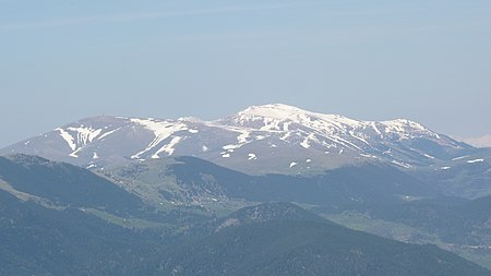
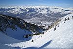
Tosa d'Alp or La Tosa is a 2,587-metre-high (8,488 ft) mountain in Baixa Cerdanya in the Spanish Pyrenees. The Coll de Pal is a mountain pass that separates its eastern part from the Puigllançada. This mountain forms a quadripoint where the Alp, Urús, Das and Bagà municipal limits meet. There is a triangulation station (282081001) at the summit. Part of its slopes are home to the ski resort of Masella which is part of Alp 2500.
Excerpt from the Wikipedia article Tosa d'Alp (License: CC BY-SA 3.0, Authors, Images).Tosa d'Alp
Camí de les Mines,
Geographical coordinates (GPS) Address Nearby Places Show on map
Geographical coordinates (GPS)
| Latitude | Longitude |
|---|---|
| N 42.321672222222 ° | E 1.8938194444444 ° |
Address
Camí de les Mines
17537
Spain
Open on Google Maps


