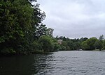
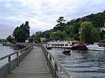
Upper Culham
Berkshire geography stubsBorough of WokinghamHamlets in Berkshire

Upper Culham is a hamlet in the English county of Berkshire, within the civil parish of Wargrave. The settlement lies near to the A4130 road, and is located approximately 2 miles (3.2 km) east of Henley-on-Thames.
Excerpt from the Wikipedia article Upper Culham (License: CC BY-SA 3.0, Authors, Images).Upper Culham
Culham Lane,
Geographical coordinates (GPS) Address Nearby Places Show on map
Geographical coordinates (GPS)
| Latitude | Longitude |
|---|---|
| N 51.533306 ° | E -0.863284 ° |
Address
Culham Lane
Culham Lane
RG10 8NR
England, United Kingdom
Open on Google Maps


