The Rythe
Rivers of SurreyThames drainage basinUse British English from October 2017

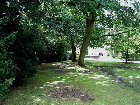
The Rythe is a river or stream in north Surrey, England which is generally open and which is a natural woodland feature for approximately half of its course before being variously culverted and a suburban garden feature, passing between Thames Ditton and Long Ditton, then discharging into the Thames. Its longest branch is the Arbrook which drains Arbrook Common, a woodland of the mainly wooded Esher Commons.
Excerpt from the Wikipedia article The Rythe (License: CC BY-SA 3.0, Authors, Images).The Rythe
Ferry Road, Elmbridge Thames Ditton
Geographical coordinates (GPS) Address Nearby Places Show on map
Geographical coordinates (GPS)
| Latitude | Longitude |
|---|---|
| N 51.391 ° | E -0.326 ° |
Address
Ferry Road
Ferry Road
KT7 0XY Elmbridge, Thames Ditton
England, United Kingdom
Open on Google Maps


