Kalmit
MaikammerMountains and hills of Rhineland-PalatinateMountains and hills of the Palatinate ForestMountains under 1000 metres

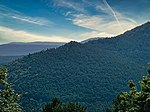
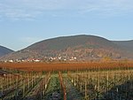
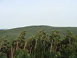
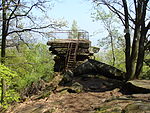
The Kalmit is the highest peak in the Palatinate Forest and the second highest (after the Donnersberg) in the Palatinate region of Germany. It is 672.6 m above sea level (NHN) and located 5.5 kilometres (3.4 mi) south of the town of Neustadt an der Weinstraße. The mountain attracts many tourists thanks to the numerous footpaths leading to its summit, its mountaintop restaurant, extensive views over the Palatinate wine region and striking rock formations on its forest-clad mountainsides.
Excerpt from the Wikipedia article Kalmit (License: CC BY-SA 3.0, Authors, Images).Kalmit
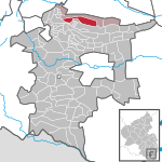
Kalmithöhenstraße, Maikammer
Geographical coordinates (GPS) Address Nearby Places Show on map
Geographical coordinates (GPS)
| Latitude | Longitude |
|---|---|
| N 49.31889 ° | E 8.08278 ° |
Address
Kalmithöhenstraße
67487 Maikammer
Rhineland-Palatinate, Germany
Open on Google Maps
