Breitenberg (Haardt)
MaikammerMountains and hills of Rhineland-PalatinateMountains and hills of the Palatinate Forest

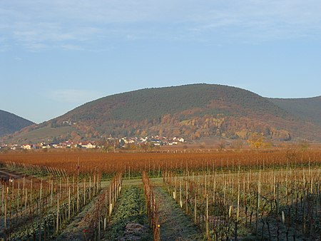
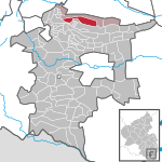
The Breitenberg near Sankt Martin in the Rhineland-Palatinate county of Südliche Weinstraße is a hill, 545.2 m above sea level (NHN), and subpeak of the Kalmit, the highest mountain in the Palatinate Forest. It is part of the Haardt mountains.
Excerpt from the Wikipedia article Breitenberg (Haardt) (License: CC BY-SA 3.0, Authors, Images).Breitenberg (Haardt)
Kalmithöhenstraße, Maikammer
Geographical coordinates (GPS) Address Nearby Places Show on map
Geographical coordinates (GPS)
| Latitude | Longitude |
|---|---|
| N 49.309 ° | E 8.090333 ° |
Address
Kalmithöhenstraße
67487 Maikammer
Rhineland-Palatinate, Germany
Open on Google Maps


