Châtelet, Belgium
Cities in WalloniaMunicipalities of Hainaut (province)Pages including recorded pronunciationsPages with French IPA

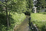
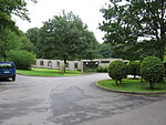
Châtelet (French pronunciation: [ʃatlɛ] ; Walloon: Tcheslet) is a city and municipality of Wallonia located in the province of Hainaut, Belgium. It lies on the river Sambre. As of January 1, 2018, Châtelet had a total population of 36,101. The total area of the municipality is 27.03 km2 which gives a population density of 1,336 inhabitants per km2. The municipality consists of the following districts: Bouffioulx, Châtelet, and Châtelineau. Châtelet was a long established independent city prior to its fusion with the other entities.
Excerpt from the Wikipedia article Châtelet, Belgium (License: CC BY-SA 3.0, Authors, Images).Châtelet, Belgium
Ravel ligne 138,
Geographical coordinates (GPS) Address Nearby Places Show on map
Geographical coordinates (GPS)
| Latitude | Longitude |
|---|---|
| N 50.4 ° | E 4.5166666666667 ° |
Address
Ravel ligne 138
Ravel ligne 138
6200
Hainaut, Belgium
Open on Google Maps


