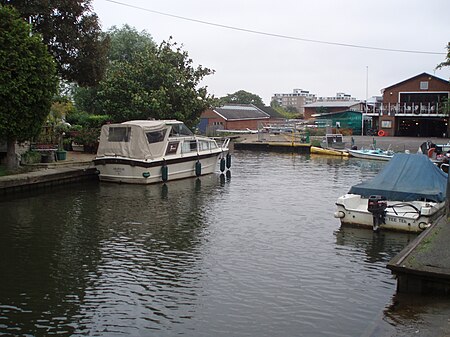
Trowlock Island
Geography of the London Borough of Richmond upon ThamesIslands of LondonIslands of the River ThamesUse British English from August 2017

Trowlock Island is a residential island in the River Thames 450 metres (490 yd) upstream of Teddington Lock on the non-tidal Kingston reach less than 10 metres from the northern bank, in the London Borough of Richmond upon Thames, England.
Excerpt from the Wikipedia article Trowlock Island (License: CC BY-SA 3.0, Authors, Images).Trowlock Island
Trowlock Island, London Ham (London Borough of Richmond upon Thames)
Geographical coordinates (GPS) Address Nearby Places Show on map
Geographical coordinates (GPS)
| Latitude | Longitude |
|---|---|
| N 51.425 ° | E -0.30916666666667 ° |
Address
Trowlock Island
Trowlock Island
TW11 9QZ London, Ham (London Borough of Richmond upon Thames)
England, United Kingdom
Open on Google Maps


