Piz Giuv
Alpine three-thousandersCanton of Uri mountain stubsGraubünden mountain stubsGraubünden–Uri borderMountains of Graubünden ... and 4 more
Mountains of SwitzerlandMountains of the AlpsMountains of the canton of UriTujetsch
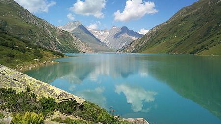
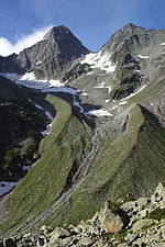
Piz Giuv (or Schattig Wichel) is a mountain of the Glarus Alps, located on the border between the cantons of Uri and Graubünden. At 3,096 metres above sea level, it is the highest mountain of the Glarus Alps lying west of the Oberalpstock. Its summit is situated between three valleys: the Fellital and Etzlital on the north side and the Val Giuv (Surselva) on the south side. The slightly lower Piz Nair lies on its east side
Excerpt from the Wikipedia article Piz Giuv (License: CC BY-SA 3.0, Authors, Images).Piz Giuv
Geographical coordinates (GPS) Address Website Nearby Places Show on map
Geographical coordinates (GPS)
| Latitude | Longitude |
|---|---|
| N 46.701944444444 ° | E 8.6925 ° |
Address
Gurtnellen
Uri, Switzerland
Open on Google Maps
