Thursley
Anglo-Saxon paganismBorough of WaverleyCivil parishes in SurreyEngvarB from June 2016Germanic mythology ... and 1 more
Villages in Surrey

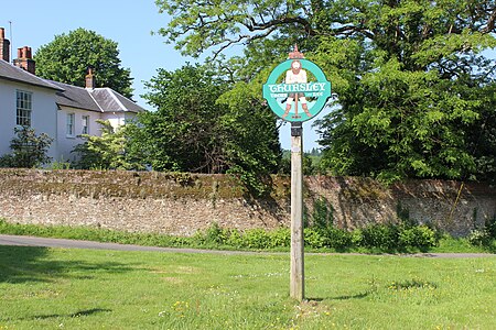
Thursley is a village and civil parish in southwest Surrey, west of the A3 between Milford and Hindhead. An associated hamlet is Bowlhead Green. To the east is Brook. In the south of the parish rises the Greensand Ridge, in this section reaching its escarpment near Punch Bowl Farm and the Devil's Punch Bowl, Hindhead.
Excerpt from the Wikipedia article Thursley (License: CC BY-SA 3.0, Authors, Images).Thursley
Dye House Road, Waverley
Geographical coordinates (GPS) Address Nearby Places Show on map
Geographical coordinates (GPS)
| Latitude | Longitude |
|---|---|
| N 51.149 ° | E -0.707 ° |
Address
Dye House Road
Dye House Road
GU8 6QD Waverley
England, United Kingdom
Open on Google Maps


