Val d'Anniviers
AnniviersLandforms of ValaisSki areas and resorts in SwitzerlandValais geography stubsValleys of Switzerland ... and 1 more
Valleys of the Alps

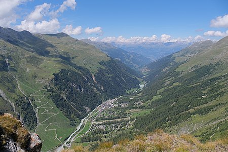
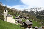
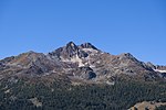
The Val d'Anniviers (old name in German Eifischtal) is a Swiss Alpine valley, situated in the district of Sierre in Valais, which extends south of the Rhône Valley, on the northern slopes of the Pennine Alps. The valley was home to six municipalities: Ayer, Chandolin, Grimentz, Saint-Jean, Saint-Luc and Vissoie. The citizens of those municipalities agreed on November 26, 2006, to merge into one, which was named Anniviers. The merger took place in January 2009.
Excerpt from the Wikipedia article Val d'Anniviers (License: CC BY-SA 3.0, Authors, Images).Val d'Anniviers
Bisse de St-Jean, Anniviers
Geographical coordinates (GPS) Address Nearby Places Show on map
Geographical coordinates (GPS)
| Latitude | Longitude |
|---|---|
| N 46.2 ° | E 7.5833333333333 ° |
Address
Bisse de St-Jean
Bisse de St-Jean
3961 Anniviers
Wallis, Switzerland
Open on Google Maps


