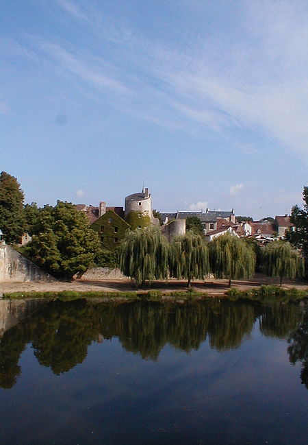
Ingrandes, Indre
Communes of IndreIndre geography stubsPages including recorded pronunciationsPages with French IPA

Ingrandes (French pronunciation: [ɛ̃ɡʁɑ̃d] ) is a commune in the Indre department in central France. The village is the site of the Gallic city of Pictavorum prior to the Roman Empire's domination of this part of Western Gaul (France). and called Fines later on in the roman period. The name Ingrandes comes from gallic Egoranda or Equoranda meaning frontier between regions. There are over 3 Ingrandes in the region, and over 100 towns, villages or locality called Ingrandes or other toponyms.
Excerpt from the Wikipedia article Ingrandes, Indre (License: CC BY-SA 3.0, Authors, Images).Ingrandes, Indre
Route Nationale, Le Blanc
Geographical coordinates (GPS) Address Nearby Places Show on map
Geographical coordinates (GPS)
| Latitude | Longitude |
|---|---|
| N 46.5983 ° | E 0.9639 ° |
Address
Route Nationale
36300 Le Blanc
Centre-Val de Loire, France
Open on Google Maps


