Kluisbergen
KluisbergenMunicipalities of East FlandersPopulated places in East Flanders

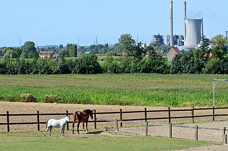
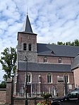
Kluisbergen (Dutch pronunciation: [ˈklœyzbɛrɣə(n)]) is a municipality located in the Belgian province of East Flanders, along the Scheldt river. The municipality comprises the towns of Berchem, Kwaremont, Ruien and Zulzeke which fused in 1971. In 2021, Kluisbergen had a total population of 6,682. The total area is 30.38 km². The town of Ruien is the largest and has some outdoor facilities. Kluisbergen is also home to the "Kluisbos", a forest which has 2 ancient standing stones, dating back to Roman times.
Excerpt from the Wikipedia article Kluisbergen (License: CC BY-SA 3.0, Authors, Images).Kluisbergen
Ronsebaan,
Geographical coordinates (GPS) Address Nearby Places Show on map
Geographical coordinates (GPS)
| Latitude | Longitude |
|---|---|
| N 50.783333333333 ° | E 3.5166666666667 ° |
Address
Ronsebaan
Ronsebaan
9690
East Flanders, Belgium
Open on Google Maps


