Maçanet de Cabrenys
Municipalities in Alt EmpordàPages with non-numeric formatnum argumentsPopulated places in Alt Empordà

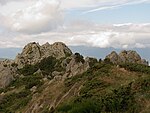
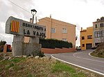
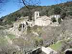
Maçanet de Cabrenys is a municipality in the comarca of Alt Empordà, Girona, Catalonia, Spain. It also belongs to the subcomarca of Alta Garrotxa. It includes the villages of Arnera, Les Creus, Les Mines, Les Salines, Tapis, Els Vilars, and Oliveda. It is situated at the foot of the Eastern Pyrenees, with the Rivers Arnera and Frausa. It has numerous springs, which makes it attractive for tourism, the largest source of revenue, together with dryland farming and animal husbandry. It has a water bottling facility. The center (370 m) is located in a valley between the two highest points of the municipal territory, the Puig de Les Salines (1331 m) and the roc de Frausa (1445 m).
Excerpt from the Wikipedia article Maçanet de Cabrenys (License: CC BY-SA 3.0, Authors, Images).Maçanet de Cabrenys
Passeig del Bosquet,
Geographical coordinates (GPS) Address Nearby Places Show on map
Geographical coordinates (GPS)
| Latitude | Longitude |
|---|---|
| N 42.388611111111 ° | E 2.7519444444444 ° |
Address
Passeig del Bosquet
Passeig del Bosquet
Catalonia, Spain
Open on Google Maps


