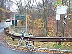
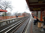
Arden Heights, Staten Island
Neighborhoods in Staten Island
Arden Heights is a name increasingly applied to the western part of Annadale, a neighborhood located on the South Shore of Staten Island, New York, USA. The name "Arden Heights" is found on most maps of New York City, including Hagstrom's. Arden Heights is bordered by Annadale to the east, Huguenot to the south, the Arthur Kill to the west, and the Fresh Kills to the north.
Excerpt from the Wikipedia article Arden Heights, Staten Island (License: CC BY-SA 3.0, Authors).Arden Heights, Staten Island
Loring Avenue, New York Staten Island
Geographical coordinates (GPS) Address Nearby Places Show on map
Geographical coordinates (GPS)
| Latitude | Longitude |
|---|---|
| N 40.554722222222 ° | E -74.18 ° |
Address
Loring Avenue
10312 New York, Staten Island
New York, United States
Open on Google Maps


