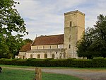
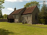
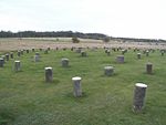
Figheldean

Figheldean is a village and civil parish on the River Avon, 3+1⁄2 miles (6 km) north of Amesbury in Wiltshire, England. Figheldean parish extends 3 miles (4.8 km) east of the village towards Tidworth as far as Devil's Ditch and 3 miles (4.8 km) westwards beyond Larkhill towards Shrewton as far as Robin Hood's Ball. The parish includes the hamlets of Ablington and Alton. Approximately 1 mile (1.6 km) to the north is Netheravon and 1.5 miles (2.4 km) to the south is Durrington. The A345 main road between Salisbury and Marlborough passes through the parish to the west of the village. Figheldean is situated on Salisbury Plain, which supports many nationally rare species and is the largest area of unimproved chalk grassland in northern Europe.
Excerpt from the Wikipedia article Figheldean (License: CC BY-SA 3.0, Authors, Images).Figheldean
Pollen Lane,
Geographical coordinates (GPS) Address Nearby Places Show on map
Geographical coordinates (GPS)
| Latitude | Longitude |
|---|---|
| N 51.224 ° | E -1.782 ° |
Address
Pollen Lane
Pollen Lane
SP4 8JR , Figheldean
England, United Kingdom
Open on Google Maps


