Buscot
Civil parishes in OxfordshireUse British English from August 2015Villages in Oxfordshire

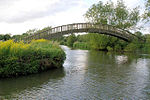
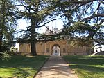
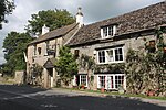
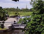
Buscot is an English village and civil parish on the River Thames, about 1.5 miles (2.4 km) south-east of Lechlade. Buscot was part of Berkshire until the 1974 boundary changes transferred it to Oxfordshire. Two houses there contain notable collections of paintings.
Excerpt from the Wikipedia article Buscot (License: CC BY-SA 3.0, Authors, Images).Buscot
Village Road, Vale of White Horse
Geographical coordinates (GPS) Address Nearby Places Show on map
Geographical coordinates (GPS)
| Latitude | Longitude |
|---|---|
| N 51.677 ° | E -1.667 ° |
Address
Buscot Village Shop Parking
Village Road
SN7 8DE Vale of White Horse
England, United Kingdom
Open on Google Maps


