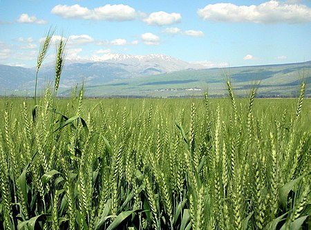
Hula Valley

The Hula Valley (Hebrew: עמק החולה, translit. Emek Ha-Ḥula; also transliterated as Huleh Valley, Arabic: سهل الحولة) is an agricultural region in northern Israel with abundant fresh water, which used to be Lake Hula, prior to its draining. It is a major stopover for birds migrating along the Syrian-African Rift Valley between Africa, Europe, and Asia. Lake Hula and the marshland surrounding it were a breeding ground for mosquitoes carrying malaria, and so were drained in the 1950s. A small section of the valley was later re-flooded in an attempt to revive a nearly extinct ecosystem. An estimated 500 million migrating birds now pass through the Hula Valley every year.
Excerpt from the Wikipedia article Hula Valley (License: CC BY-SA 3.0, Authors, Images).Hula Valley
The Green Bridge, Mevoot HaHermon Regional Council
Geographical coordinates (GPS) Address Nearby Places Show on map
Geographical coordinates (GPS)
| Latitude | Longitude |
|---|---|
| N 33.103333333333 ° | E 35.609166666667 ° |
Address
אגמון החולה
The Green Bridge
Mevoot HaHermon Regional Council
North District, Israel
Open on Google Maps


