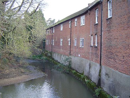
River Ember
Mole catchmentRivers of Surrey

The River Ember is a short river in the north of Surrey, England — a channel of the River Mole which splits in two south of Island Barn Reservoir, between East Molesey and Lower Green, Esher. The Ember, the larger channel, flows in an easterly and then northerly direction around the reservoir, past part of Esher; the Mole flows around the other side past West Molesey. The two rivers then flow side by side approximately north east and merge 400 metres before joining the River Thames at the eastern end of East Molesey opposite Hampton Court Palace on the south side of the last non-tidal reach, which is above Teddington Lock.
Excerpt from the Wikipedia article River Ember (License: CC BY-SA 3.0, Authors, Images).River Ember
Bridges Avenue, Elmbridge Lower Green Esher
Geographical coordinates (GPS) Address Nearby Places Show on map
Geographical coordinates (GPS)
| Latitude | Longitude |
|---|---|
| N 51.39272 ° | E -0.35642 ° |
Address
Bridges Avenue
KT8 0AP Elmbridge, Lower Green Esher
England, United Kingdom
Open on Google Maps


