River Tyburn

The River Tyburn was a stream (bourn) in London, its main successor sewers emulate its main courses but it resembled the Colne in its county of Middlesex in that it had many distributaries (inland mouths). It ran from South Hampstead, through Marylebone and Soho (St Anne's, Westminster) then ran through St James's parish/district and Green Park to meet the tidal Thames at four sites, grouped into pairs. These pairs were near Whitehall Stairs (east of Downing Street) and by Thorney Street, between Millbank Tower and Thames House. Its much smaller cousin the Tyburn Brook was a tributary of the Westbourne, in turn the next Thames tributary (west, on the north bank). A charter of AD 959 appears to mention the river, which it refers to as Merfleot, which probably translates as Boundary Stream, a suggestion reinforced by context, with the river forming the western boundary of the estate described.
Excerpt from the Wikipedia article River Tyburn (License: CC BY-SA 3.0, Authors, Images).River Tyburn
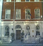
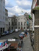
Davies Street, London Mayfair
Geographical coordinates (GPS) Address Nearby Places Show on map
Geographical coordinates (GPS)
| Latitude | Longitude |
|---|---|
| N 51.5136 ° | E -0.1486 ° |
Address
Grays
Davies Street
W1K 5LP London, Mayfair
England, United Kingdom
Open on Google Maps


