A1205 road
Infobox road instances in the United KingdomInfobox road maps tracking categoryRoads in EnglandRoads in LondonStreets in the London Borough of Hackney ... and 4 more
Streets in the London Borough of Tower HamletsTransport in the London Borough of HackneyTransport in the London Borough of Tower HamletsUse British English from February 2013

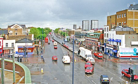
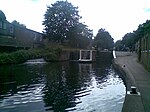
The A1205 is a road in east London which runs north to south parallel to the Regent's Canal and connects South Hackney and Victoria Park with the A13 at Limehouse. It is approximately 2 miles (3 km) in length, and runs in a roughly SSW direction.
Excerpt from the Wikipedia article A1205 road (License: CC BY-SA 3.0, Authors, Images).A1205 road
Shafton Road, London Homerton (London Borough of Hackney)
Geographical coordinates (GPS) Address Nearby Places Show on map
Geographical coordinates (GPS)
| Latitude | Longitude |
|---|---|
| N 51.538 ° | E -0.043 ° |
Address
Shafton Road 14
E9 7HE London, Homerton (London Borough of Hackney)
England, United Kingdom
Open on Google Maps


