Shelter Island Heights, New York
Census-designated places in New York (state)Census-designated places in Suffolk County, New YorkHamlets in New York (state)Hamlets in Suffolk County, New YorkPopulated coastal places in New York (state) ... and 2 more
Shelter Island (town), New YorkUse mdy dates from July 2023

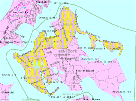
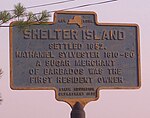
Shelter Island Heights is a hamlet and census-designated place (CDP) located in the Town of Shelter Island, in Suffolk County, New York, United States. It is located on the north side of Shelter Island, surrounding the village of Dering Harbor. The population was 1,601 at the time of the 2020 census.
Excerpt from the Wikipedia article Shelter Island Heights, New York (License: CC BY-SA 3.0, Authors, Images).Shelter Island Heights, New York
North Ferry Road,
Geographical coordinates (GPS) Address Nearby Places Show on map
Geographical coordinates (GPS)
| Latitude | Longitude |
|---|---|
| N 41.078055555556 ° | E -72.350833333333 ° |
Address
North Ferry Road 137
11965
New York, United States
Open on Google Maps


