place

Millerton, New York

Mining communities in New York (state)North East, New YorkPoughkeepsie–Newburgh–Middletown metropolitan areaUse mdy dates from July 2023Villages in Dutchess County, New York
Villages in New York (state)
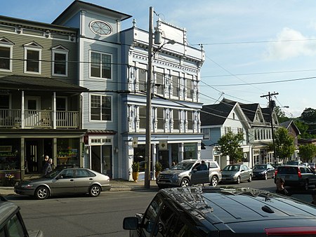
Village of Millerton, view of business district

Millerton is a village in Dutchess County, New York, United States with a population of 903 at the 2020 census. The village was named after Sidney Miller, a rail contractor who helped bring the railroad to that area. Millerton is part of the Poughkeepsie-Newburgh-Middletown Metropolitan Statistical Area of New York as well as the larger New York-Newark-Bridgeport NY-NJ-CT-PA Combined Statistical Area. Millerton was named one of "The Ten Coolest Small Towns in America" by Frommer's Budget Travel Magazine in 2007, and has been featured in the New York Times article "Williamsburg on the Hudson".Millerton is within the town of North East and is near Taconic State Park and the Connecticut border.

Excerpt from the Wikipedia article Millerton, New York (License: CC BY-SA 3.0, Authors, Images).

Millerton, New York
Century Boulevard, Town of North East

Geographical coordinates (GPS) Address Nearby Places
placeShow on map

Wikipedia: Millerton, New YorkContinue reading on Wikipedia

Geographical coordinates (GPS)

Latitude Longitude
N 41.953888888889 ° E -73.507777777778 °
placeShow on map

Address

Century Boulevard
12546 Town of North East
New York, United States
mapOpen on Google Maps

Village of Millerton, view of business district
Share experience

Nearby Places

Coleman Station Historic District

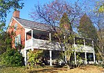
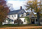
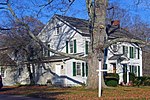
The Coleman Station Historic District is located around the former New York Central Railroad Coleman's station in the Town of North East, New York, United States, a short distance south of the village of Millerton. It is a rural area including several large farms in the southeastern corner of the town. At almost three square miles (7.33 km2), it is the largest historic district entirely within Dutchess County and the second largest in the county. Nine farms were established in the current district by emigrants from New England in the late 18th century. Those farms have since been subdivided and recombined under later owners, but their original boundaries were used to establish the district, a small valley along Webutuck Creek. Over the course of the 19th century they evolved from farms that primarily raised a diverse group of livestock for local and regional markets to dairy farms that used the station and the railroad line that ran through the middle of the district to sell raw milk to New York City. By the middle of the 20th century a corporate farm in the district had become one of the city's largest milk providers. At the end of the 19th century residents of the city began to make country retreats in and around the district. A century later some of them lobbied to create the district and list it on the National Register of Historic Places in 1993. One local farm's resistance to that effort went as far as federal appeals court after lower state and federal courts had negated the creation of the district. Since then some newer farms in the district have used its historic buildings and farms for coffee roasting and low-impact sheep farming, among other. Many of the buildings in the district were erected in the 18th and 19th centuries, with little modification since then. They reflect, in many instances, different phases of agricultural development in the district. Five of these contributing properties are listed on the National Register of Historic Places.