Hunsdon Airfield
Airports in EnglandAirports in the East of EnglandTransport in HertfordshireUse British English from May 2013
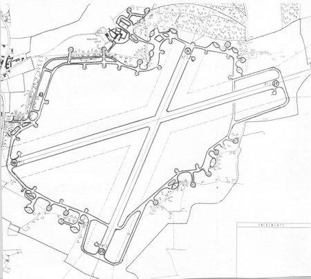
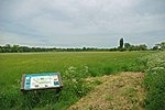
Hunsdon Airfield is an airfield near Hunsdon, Hertfordshire and 2.8 miles (4.5 km) north of Harlow, Essex, England. As of 2021, it is used by a local microlight club. The airfield was used by the Royal Air Force between 1941 and 1945 under the name of RAF Hunsdon.
Excerpt from the Wikipedia article Hunsdon Airfield (License: CC BY-SA 3.0, Authors, Images).Hunsdon Airfield
Hunsdon Airfield Perimeter, East Hertfordshire Hunsdon
Geographical coordinates (GPS) Address Nearby Places Show on map
Geographical coordinates (GPS)
| Latitude | Longitude |
|---|---|
| N 51.8 ° | E 0.066666666666667 ° |
Address
Hunsdon Airfield Perimeter
Hunsdon Airfield Perimeter
SG12 8FJ East Hertfordshire, Hunsdon
England, United Kingdom
Open on Google Maps
