Glympton
Civil parishes in OxfordshireG. E. Street buildingsUse British English from September 2013Villages in OxfordshireWest Oxfordshire District

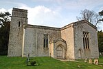
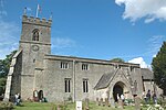
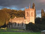
Glympton is a village and civil parish on the River Glyme about 3 miles (5 km) north of Woodstock, Oxfordshire. The 2001 Census recorded the parish's population as 80. The village and church are owned by the Glympton Park estate.
Excerpt from the Wikipedia article Glympton (License: CC BY-SA 3.0, Authors, Images).Glympton
West Oxfordshire Glympton
Geographical coordinates (GPS) Address Nearby Places Show on map
Geographical coordinates (GPS)
| Latitude | Longitude |
|---|---|
| N 51.893 ° | E -1.382 ° |
Address
OX20 1AL West Oxfordshire, Glympton
England, United Kingdom
Open on Google Maps


