Sandridge
City of St AlbansCivil parishes in HertfordshireHistory of telecommunications in the United KingdomScience and technology in HertfordshireVillages in Hertfordshire

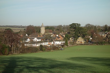
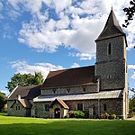
Sandridge is a village and civil parish between St Albans and Wheathampstead in Hertfordshire, England.
Excerpt from the Wikipedia article Sandridge (License: CC BY-SA 3.0, Authors, Images).Sandridge
Giles Close, St Albans
Geographical coordinates (GPS) Address Nearby Places Show on map
Geographical coordinates (GPS)
| Latitude | Longitude |
|---|---|
| N 51.78084 ° | E -0.30384 ° |
Address
Giles Close
Giles Close
AL4 9DR St Albans
England, United Kingdom
Open on Google Maps


