Brampton—Springdale (provincial electoral district)
Former provincial electoral districts of OntarioOntario stubsPolitics of Brampton

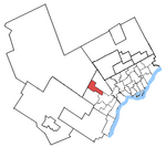
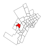
Brampton—Springdale was a provincial electoral district in central Ontario, Canada. It was created for the 2007 provincial election. 83.7% of the district was created from Brampton Centre while 16.3% was carved from Bramalea—Gore—Malton—Springdale. The riding includes that part of Brampton west of a line following Dixie Road to Bovaird Drive to Torbram Road and east of a line following Hurontario Street to Vodden Street to Kennedy Road. In 2018, the district was dissolved into Brampton Centre, Brampton North and Brampton East.
Excerpt from the Wikipedia article Brampton—Springdale (provincial electoral district) (License: CC BY-SA 3.0, Authors, Images).Brampton—Springdale (provincial electoral district)
Longbourne Crescent, Brampton Bramalea
Geographical coordinates (GPS) Address Nearby Places Show on map
Geographical coordinates (GPS)
| Latitude | Longitude |
|---|---|
| N 43.71 ° | E -79.74 ° |
Address
Longbourne Crescent 28
L6S 4C4 Brampton, Bramalea
Ontario, Canada
Open on Google Maps


