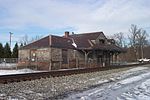
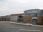
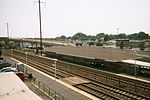
Aberdeen, Maryland
1852 establishments in MarylandAberdeen, MarylandCities in Harford County, MarylandCities in MarylandCities in the Baltimore–Washington metropolitan area ... and 3 more
Populated places established in 1852Scottish-American culture in MarylandUse mdy dates from July 2023

Aberdeen is a city located in Harford County, Maryland, United States, 26 miles (42 km) northeast of Baltimore. The population was 16,254 at the 2020 United States Census. Aberdeen is the largest municipality in Harford County. Aberdeen is part of the Baltimore-Towson Metropolitan Statistical Area (MSA), which is the 20th-largest United States metropolitan area. The nearest city to Aberdeen is Havre de Grace, 4.8 miles (7.7 km) to the northeast.
Excerpt from the Wikipedia article Aberdeen, Maryland (License: CC BY-SA 3.0, Authors, Images).Aberdeen, Maryland
Buchanan Alley,
Geographical coordinates (GPS) Address Nearby Places Show on map
Geographical coordinates (GPS)
| Latitude | Longitude |
|---|---|
| N 39.510277777778 ° | E -76.169166666667 ° |
Address
Buchanan Alley 262
21001
Maryland, United States
Open on Google Maps


