Glover's Island
Geography of the London Borough of Richmond upon ThamesIslands of LondonIslands of the River ThamesUse British English from May 2017

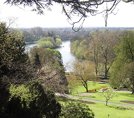
Glover's Island (originally called Petersham Ait) is in a tree-lined section of river, formerly known as Horse Reach on the tidal Thames, between Richmond Lock and Teddington Lock in the Borough of Richmond upon Thames, London, England.
Excerpt from the Wikipedia article Glover's Island (License: CC BY-SA 3.0, Authors, Images).Glover's Island
Thames Path - northern Bank, London Petersham (London Borough of Richmond upon Thames)
Geographical coordinates (GPS) Address Nearby Places Show on map
Geographical coordinates (GPS)
| Latitude | Longitude |
|---|---|
| N 51.45 ° | E -0.30555555555556 ° |
Address
Thames Path - northern Bank
Thames Path - northern Bank
TW1 2TT London, Petersham (London Borough of Richmond upon Thames)
England, United Kingdom
Open on Google Maps


