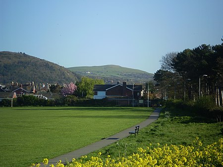
Moelfre Isaf
Clwyd geography stubsMountains and hills of Conwy County BoroughUse British English from August 2022

Moelfre Isaf is a 317 m (1,040 ft) hill located to the south of the town of Abergele. There are views towards the Clwydian Range, Snowdonia, and the Isle of Man and the Cumbrian Mountains can be seen on a clear day. Nearby is the small settlement of Moelfre, Conwy. Almost opposite is the higher hill of Moelfre Uchaf.
Excerpt from the Wikipedia article Moelfre Isaf (License: CC BY-SA 3.0, Authors, Images).Moelfre Isaf
Geographical coordinates (GPS) Address Nearby Places Show on map
Geographical coordinates (GPS)
| Latitude | Longitude |
|---|---|
| N 53.24632 ° | E -3.57353 ° |
Address
LL22 9RL , Llanfair Talhaiarn
Wales, United Kingdom
Open on Google Maps


