Stort Navigation
1769 establishments in EnglandCanals in EnglandCanals in EssexCanals in HertfordshireCanals opened in 1769 ... and 6 more
Lea catchmentLee NavigationRiver StortRiver navigations in the United KingdomTributaries of the River LeaUse British English from June 2015

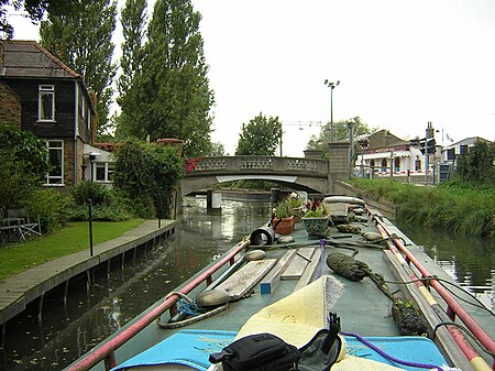
The Stort Navigation is the canalised section of the River Stort running 22 kilometres (14 mi) from the town of Bishop's Stortford, Hertfordshire, downstream to its confluence with the Lee Navigation at Feildes Weir near Rye House, Hoddesdon, Hertfordshire.
Excerpt from the Wikipedia article Stort Navigation (License: CC BY-SA 3.0, Authors, Images).Stort Navigation
Burnt Mill Lane, Essex
Geographical coordinates (GPS) Address Nearby Places Show on map
Geographical coordinates (GPS)
| Latitude | Longitude |
|---|---|
| N 51.782563888889 ° | E 0.096633333333333 ° |
Address
Harlow Marina Water Point
Burnt Mill Lane
CM20 2QS Essex, Burnt Mill
England, United Kingdom
Open on Google Maps


